New Video Post for Tracy Arm – Original Post Jun 20, 2014

Video View 

Just uploaded a new video I took when visiting Tracy Arm, and Sawyer Glaciers. I have also added a couple of links. My video of a calving of Sawyer Glacier is pretty spectacular, however the link below was taken at a different time from the same boat we were on of a really big calving.


Sawyer Glacier Calving

Tracy Arm Wiki

Wednesday, September 5 Lock E-11 to Canajoharie Riverfront Park

We went to speak with the lock master at #11 this morning and found him speaking with the man who positions the buoys. We learned that the Irene flood had destroyed the historic displays in the basement and the first floor of the museum at the lock. The building is still being repaired. The electrical outlets installed for overnighting boats were also out of commission. Repairs are expected to take another 2 years.

Continuing west we passed through Lock E-!2 and E-13. At first we thought E-13 had been hit really hard by the Irene flood as the east half of the dam had a coffer dam around it with major work on going. The lock master told us that in fact this was scheduled contract work.

We arrived at the Canajoharie Riverfront Park in mid afternoon. This is a very nice floating dock with electric and water all at no charge. The train track in across the (narrow) river and I-90 i just inland from the dock. The noise is not as bad as Lock 11 because the trains seldom sound their whistles right here. After we get Conepatus set-up, we walk into town. The small down-town area looks as if it has been recently spruced-up. Most of the historic buildings are in good shape as are the roads and sidewalks. There are several empty store fronts including a large Beech-Nut facility with a for sale sign. We have a nice Italian meal at Gino’s and then check out the library and museum. As it is late we decide to wait until tomorrow to view the exhibits in the museum as we want plenty of time for this.

After returning to the boat, Sarah decided to get a bit of exercise and headed off over the bridge. This leads to the community of Palatine Bridge. There are several historic houses here but many are not cared for. The shopping center at the top of the hill opposite the bridge has an Ace hardware store and a Subway but there is also a major store front empty where the furniture store has closed. About 20 minutes down the main road to the west are 2 coin laundries and a Price Chopper supermarket. (They are quite a distance away from the boat dock if you don’t have wheels of some kind.)

ERIE CANAL WESTBOUND Tuesday, September 4 Waterford to Lock E 11

This afternoon we are supposed to get the remnants of Hurricane Isaac which came ashore in Louisiana about 8 days ago as a category 1 storm. Throughout the Gulf coast states there has been bad flooding and power outages. Here we will get a few showers. We will watch the weather as the day progresses to determine where we stop.

We are the first to leave the Waterford wall this morning, starting up the flight locks about 8. Locks 2-6 are arranged with turning basins between each lock with enough space to meet on-coming boats or for the old canal barges to turn around if need be. The total lift is about 169′. We lock through alone, pass under guard gates #1 and #2 which drip on us, and then head for Lock E7 following the Mohawk River. This valley has been a major transportation route for centuries.Remnants of the original canal can still be found here while the NY Thruway, the current Erie Barge Canal, and numerous train lines pass along the valley floor.

By the time we get through Lock E7 it is close to noon. We learned through the Active Captain web site that there is electric on the SW wall here so we stopped for a mid-day break. Craig used the electric to roast coffee – a noisy process best done in a place like this where there are no other boats to disturb. Sarah made some cookies and then we had lunch. Once the clean up is done, we head west again. Our first stop is to get fuel and a pump-out at the Schenectady Yacht Club. Gas was $4.32/gallon for ethanol gas (required in NY) and the pump out $5. Although this is a “yacht club” they did have overnight docking available for transients.

We continued west on the Canal through Lock E-8 where we saw our first bad damage from the Irene flooding. Lock #9 was worse and then we got to #10. The river washed away the lock house and created a 60′ deep ditch along the west side of the lock undermining the foundation of the powerhouse until only the roof was visible. It will take 2 more years to finish placing the fill.

Due to the damage from the Irene flooding and the ongoing repair work, they are not allowing any overnight tie-up at locks 9 and 10. In Amsterdam there is the River Link Park where you can overnight with electric, water, showers, and coin laundry for $1/foot. This facility is very nice but is under a  highway bridge and adjacent to multiple train tracks which are very busy. As we didn’t need the extra amenities, we carried on to Lock #11.

Although the flood water did some damage here, it was not as bad as the locks below here. We tied up behind a sailboat on the upper wall. Ahead of the sailboat was a barge full of cut brush and tree branches. The Guy Park Historic Site was torn up from the flood and from the vehicles that are removing the debris. The electric hook-ups are out of order until further notice. Here, too we were near the train tracks with train whistles sounding frequently.

Monday, September 3 Waterford

We took a day off traveling today. For the night we were tied up to the high wall near the junction of the Hudson and the Mohawk. About 6am one of the boats tied to the floating dock (with electric) departed to head down the Hudson. We took the opportunity to grab her slot. So before coffee(!!!!) we were taking in lines, shoving off, re-docking and plugging in.

Having gotten an early start on the day, We decided to have our coffee and then walk across the bridge to Peebles Island State Park. This island was the home of Cluett-Peabody Shirt Factory. Its claim to fame is that it had the patent on the “sanforizing process”. This process preshrinks fabrics before they are cut for clothes. As a result the finished clothes shrink less than 1% when washed the 1st time.

The factory building is still standing and part of it it used as the headquarters of the Bureau of Historic Sites and Bureau of Historic Preservation Field Services. There is also a small visitors center but from Labor Day in September to Columbus Day October it is only open weekends. There are a number of trails so we took the perimeter trail and strolled around in about an hour. It seems to be a favorite with the locals getting their exercise and walking their dogs. It’s quite amazing to see so little water in the various water courses around the island and realize that last year at this time the waters of Irene were almost topping the bridges.

After taking care of a few chores we went into Waterford village to the Sun Rise Chinese Restaurant. The food was quite good as well as inexpensive. I would recommend take-out however. Eat in or take out, the food comes in take-out styrofoam contains with rather flexible utensils.

Throughout the day numerous NY registered power boats locked east through the Flight locks. We can only guess there must have been some rendezvous or gathering up the line. Most of them cleared the locks and headed out onto the Hudson. Later in the afternoon as the docks were once again filling up, we went to explore the old Champlain Canal. Three locks of this old canal empty into the Mohawk just to the east of the NY State Barge Canal the lowest flight lock (Lock 2). The gates have been removed and the channel is used to regulate the water level in the flight locks. There is a walking trail along this old canal and numerous plaques which explain the history of the area as it relates to the canal. There are some nice photos showing the barges being pulled by mules.


Sunday, September 2 Mechanicville to Waterford Visitor Center

Off to the laundry early to get that chore finished before brunch. Mom’s Laundromat is a couple of blocks away. It’s very clean with a variety of machines so you can even wash your sleeping bags if so inclined. There is even a change machine and a soap, etc. dispenser.

Once the clean laundry is onboard, we walk over to Faldoni’s Deli for brunch. (http://www.faldonis.com/). While not as extensive as the brunches at the big hotels in Panama City, there is a very nice selection in a pleasant atmosphere at a good price. Unfortunately we are definitely aging as we found we could not eat half of what we used to at these “all-you-can-eat” events. It seems there really is a reason to charge seniors a lower rate.

By the time we returned to Conepatus it was getting hot. With on other boats on the wall and a relatively short distance to go, we decided to stay put for awhile. Sarah started cleaning and Craig worked on the computer. Before long, a local couple stopped by to chat. He is a crew chief for the military flying to Antarctica and Greenland. He and Craig had a long chat about boats, nuclear plants, Antarctica and other interests they had in common. Sarah chatted with his wife who is often alone to raise their 5 children whom she home schools. We passed a very pleasant time chatting with them. Once they departed, we finished up cleaning the canal dirt off Conepatus’s outside.

About 3 PM we dropped our lines and headed for Waterford. We had seen very few boats all the way down the Champlain Canal. At Fort Edward and at Mechanicville there were only 2 other boats spending the night. We arrived at Waterford to find the electric spots full! It remains to be seen if we will encounter heavier traffic all along on the Erie but this place is relatively busy even though the “amenities” are more readily available at Mechanicville and the electric is free while here it is $10/day.

Saturday, September 1 Fort Edward to Mechanicville Terminal Wall

Another slow start  but start we did. Heading south again toward Lock 6 we passed numerous barges and other floating equipment involved with the Hudson River Project. There are still some areas of wetlands along the way but we are seeing more RV parks, neighborhoods, and farms. Locks 5 and 4 have recently been refurbished and have nice plastic coated cables in the wall slots instead of the 4″ pipes we see in the other locks. These are easier to get a line around and easier for them to maintain.

Approaching Lock 3 we pass under a bridge with a normal clearance of 15′. With the low water we have 17′ and clear easily. Then it is into Lock 3, out agin, and down to Mechanicville Wall. Here we have a dock, water, and and electric at no charge.

Once we are secured, we walk over to Price Chopper, the only supermarket close by. The next week or so will continue to be wall to wall. Most days we will probably eat 1 meal a day ashore so we stock up on drinks, snacks, breakfast items, and things for a light meal aboard. Once our groceries are on board we return to town to go to the pharmacy. This s a nice stop in that the groceries, pharmacy, and coin laundry are all close by and there is no tall hill to climb! On the way back we spy a delicatessen advertising Sunday Brunch. We stop in to check out the menu and decide we will stay long enough to give it a try.

Champlain Canal Southbound Friday, August 31 Whitehall Terminal Wall To Fort Edward, NY

Although we both noticed the train that rumbled through sometime during the night, we managed a goodly amount of sleep. We got underway from the wall but quickly realized there was a wooden vessel’s remains on display just south of the wall. We docked at a low floating public pier and went to examine her. She is what remains of the USS Ticonderoga. As a 17-gun schooner she was part of a squadron commanded by Captain Thomas Macdonough during the Battle of Plattsburg in 1814. Her remains were rediscovered in 1958, “salvaged”, and put on display in Whitehall.

After this brief detour we headed south on the canal. The section close to Whitehall is a cut channel through the meandering creek bed of Woods Creek. There is a nice mix of wetlands, forest, and farms. We passed through Locks 11 and 9 (there is no 10). Approaching Lock 8 we saw a nice old tug and barge along with various pieces of equipment on shore. The lock master handed us a sheet about dredging activities between Locks 8 and 6. After clearing Lock 8 we could see a sizable operation along the west bank where dredge spoils were being off-load. This is part of the Hudson River Dredging Project (http://www.hudsondredging.com). GE has agreed to remove material contaminated with PCB’s and treat the material to remove the contaminants. The dredging started in 2011 and will take 6 years.

Clearing Lock 7 we made a hard right turn. This took us to a buoyed channel, under 2 bridges, and into Fort Edward Yacht Terminal. Once again we were able to dock and hook up to water and power for free for up to 48 hours.

This town is a quite a bit busier than Whitehall. GE still has a plant here making capacitors and Irwin Tissue, Inc has a substantial facility here. Nevertheless, there are numerous nice old houses some of which are loving cared for and others which had seen much better days. Historically  known as “The Carrying Place” because it was the southern end of the portage between the Hudson River and Lakes George and Champlain. This made it a trading center as well as a place the many different groups wished to control. Next to this town is Rogers Island where Major Robert Rogers trained his company of Rangers using his “Ranging Rules” military tactics for irregular troops. Some consider it the birthplace of the US Army Rangers.

Thursday, August 30 Fort Ticonderoga to Whitehall Terminal Wall

We started the day with hot (thanks to the gas!), fresh coffee. Then it was time to make a lemon meringue pie.

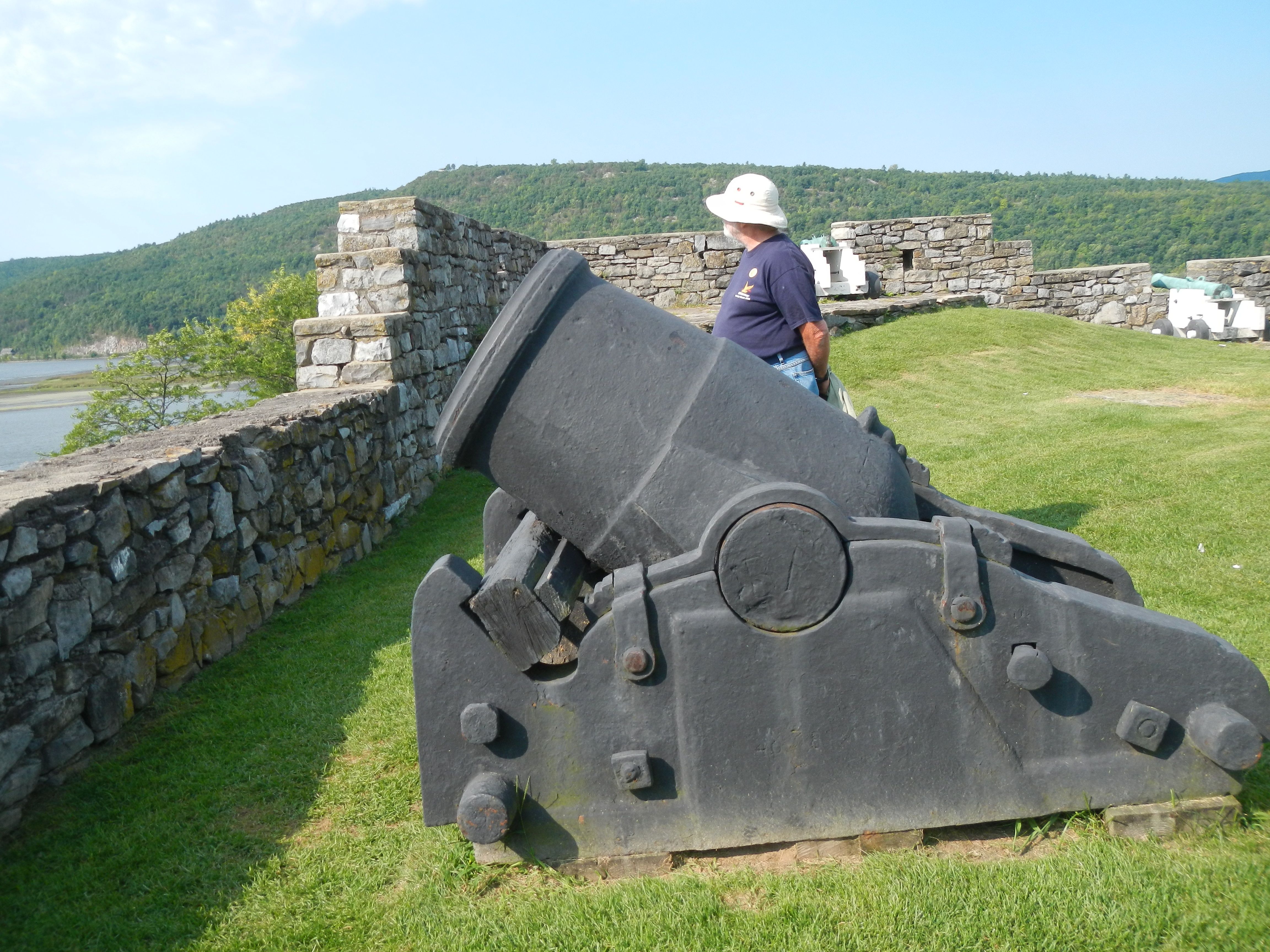
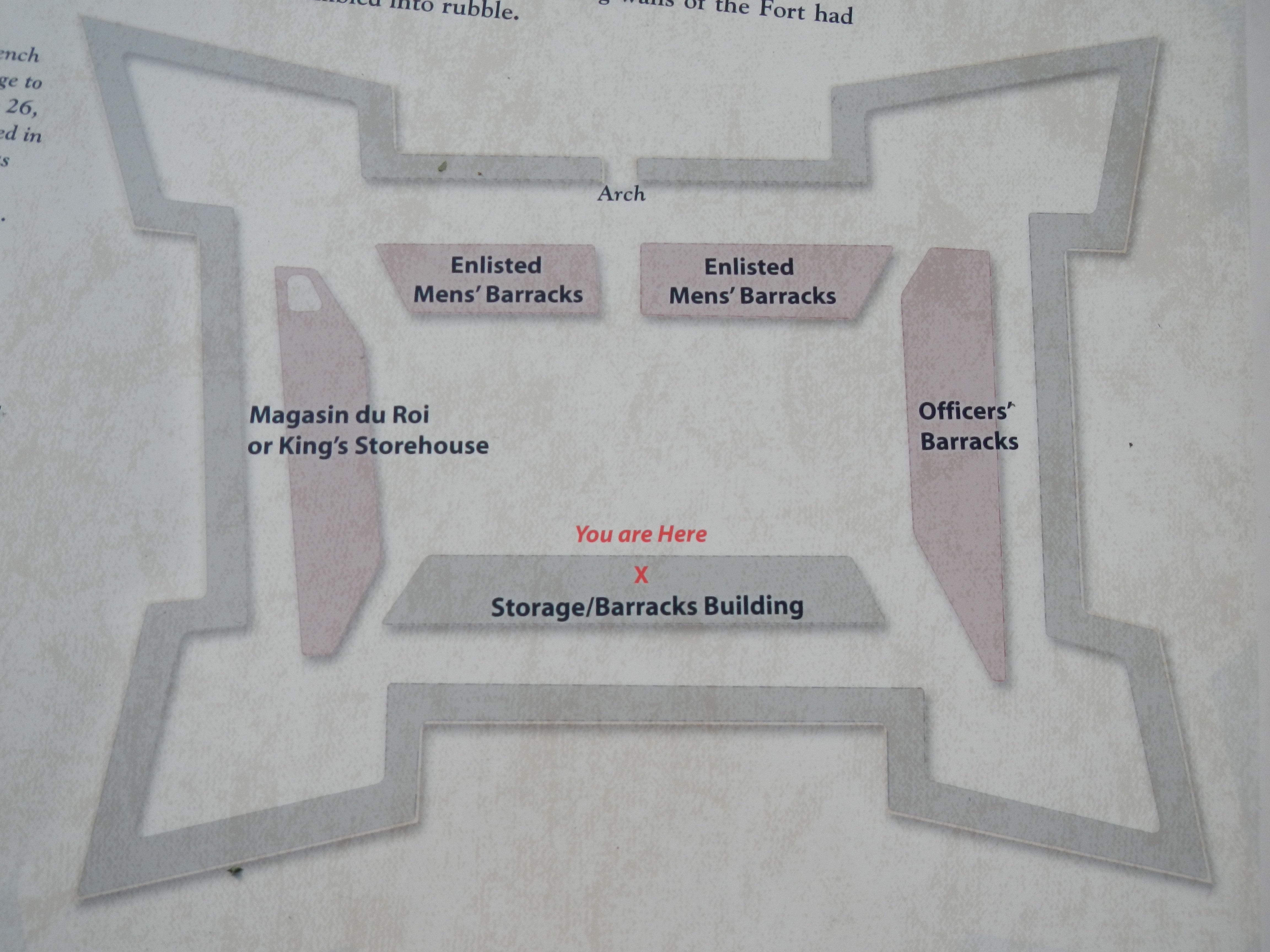
We headed into the fort by dinghy about 9am. Arriving on the shore we were able to keep our feet dry and mud-free, pulling the dinghy up on an old tire on shore. We walked along the shore until we found the path to the stairs. Climbing the stairs, we arrived at the parking lot. The Fort was open at 9:30 with flag raising at 9:45. We took a brief look around and then joined the tour at 10:15.

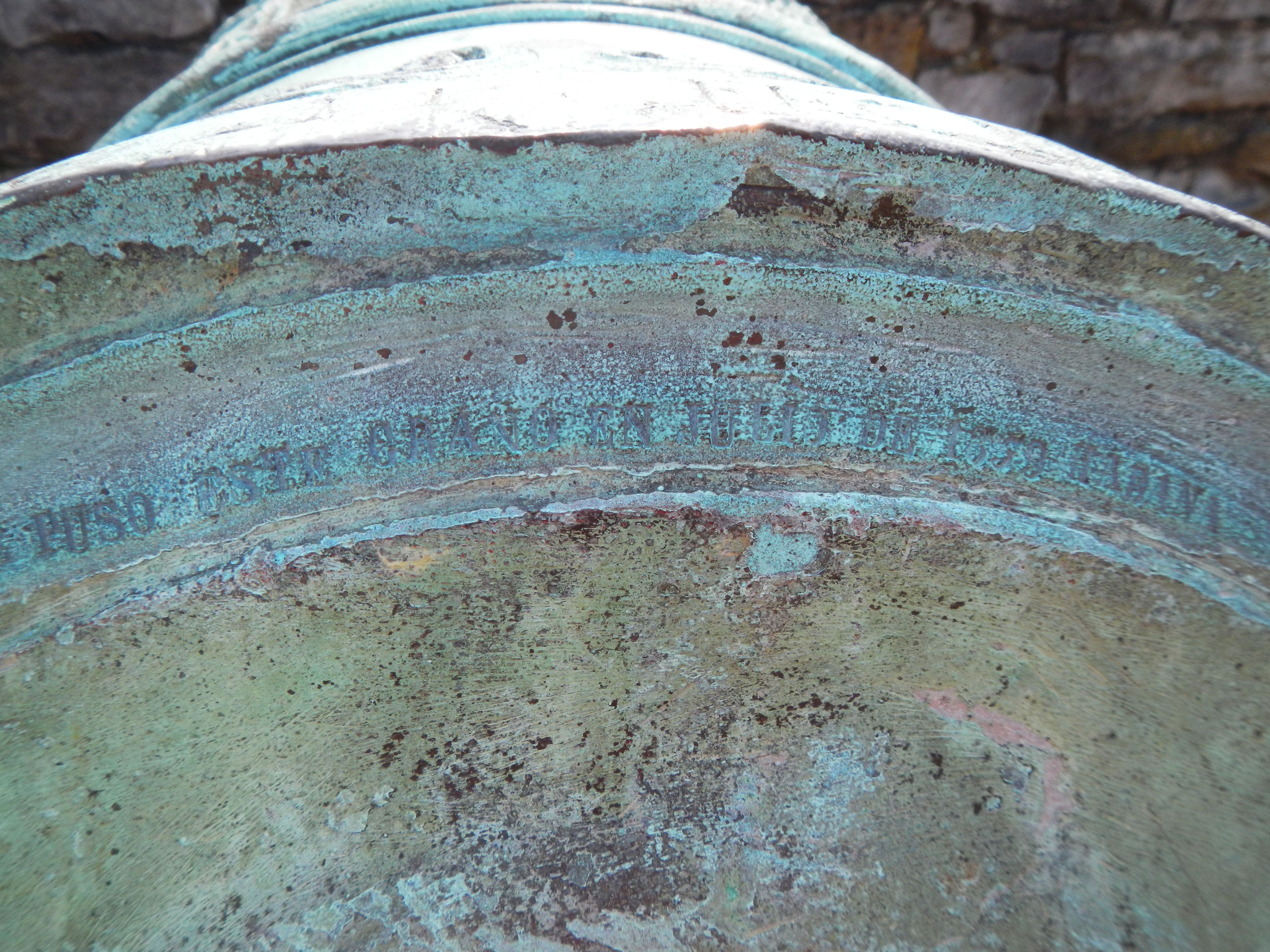
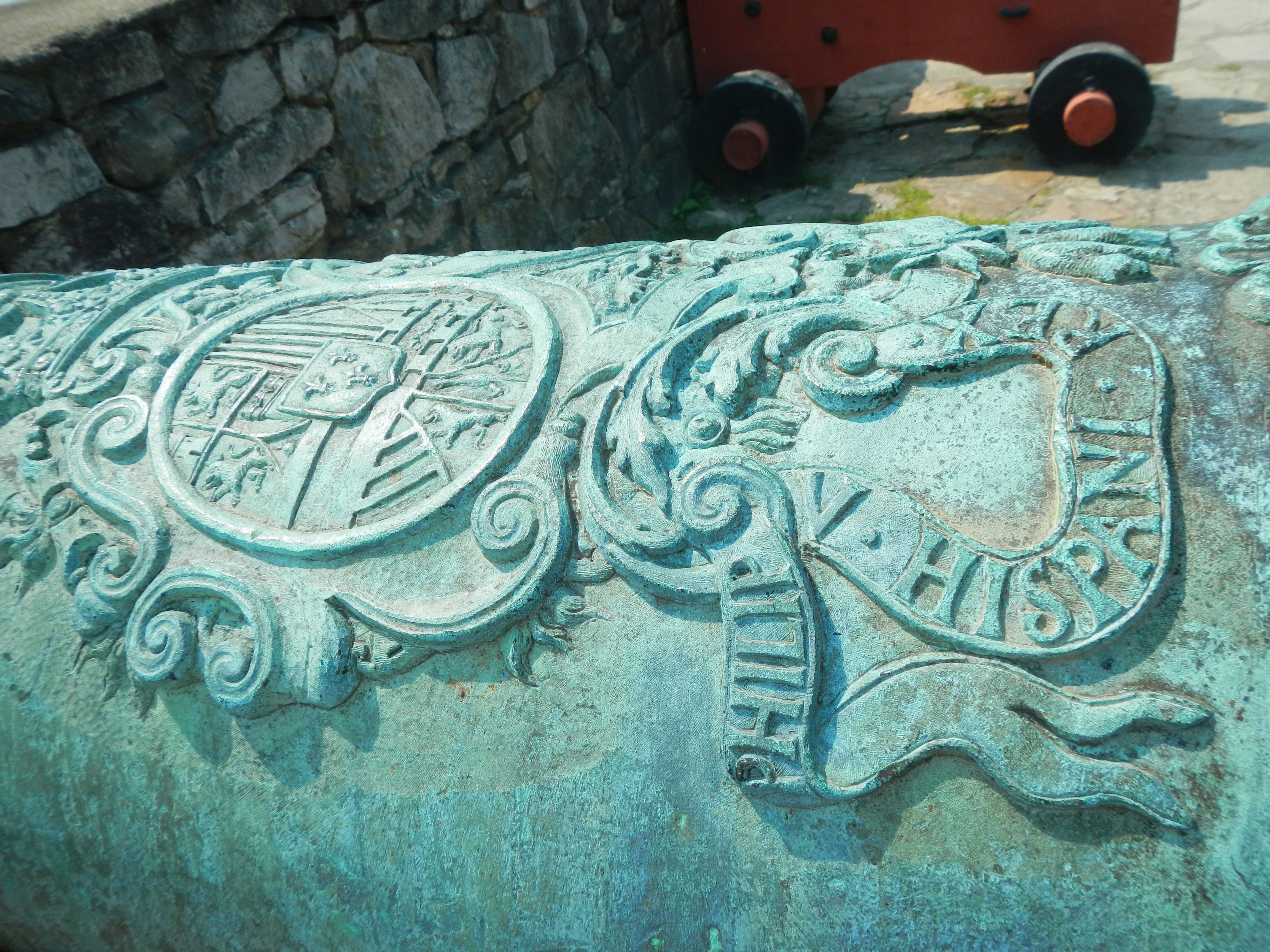
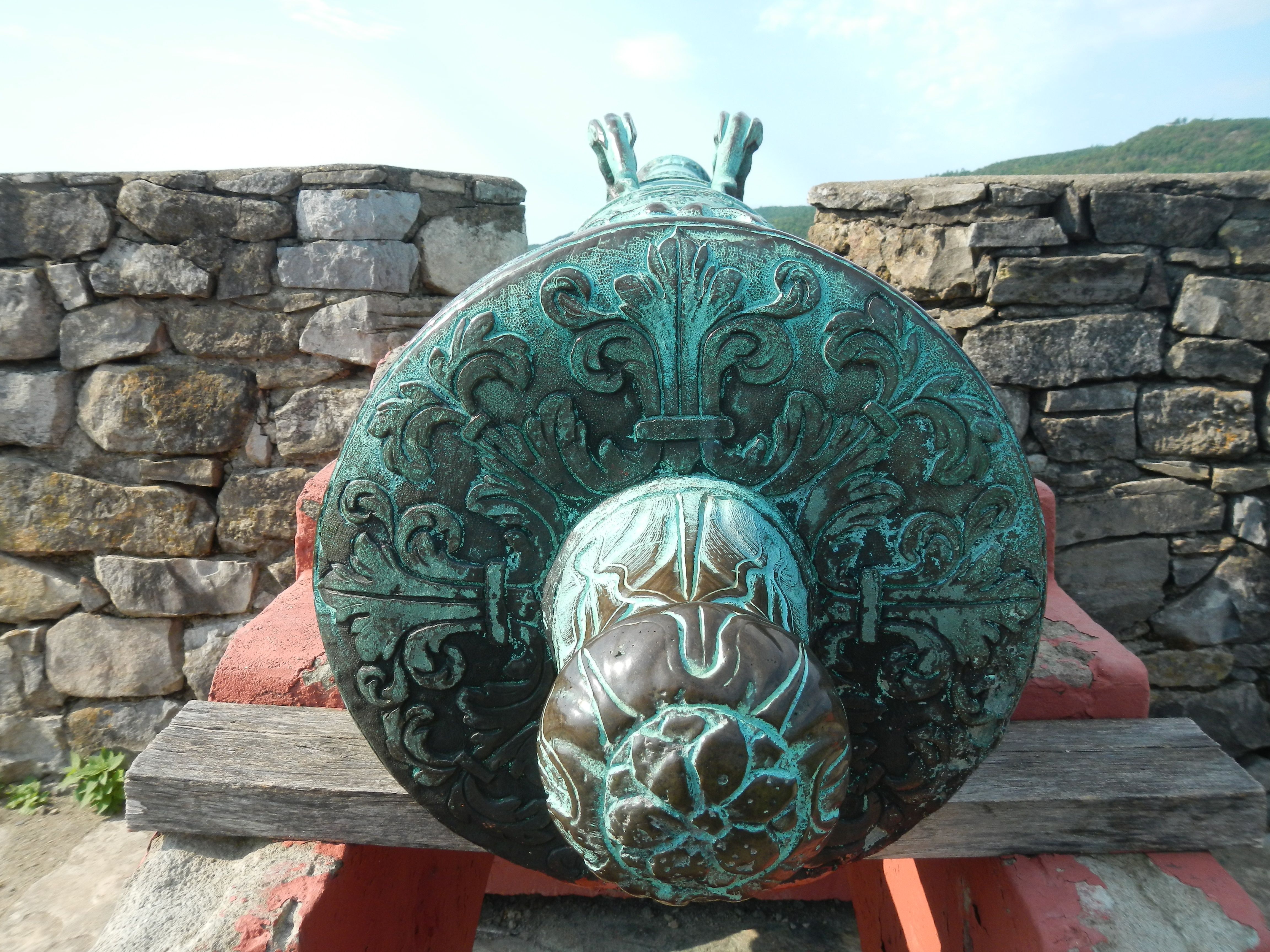
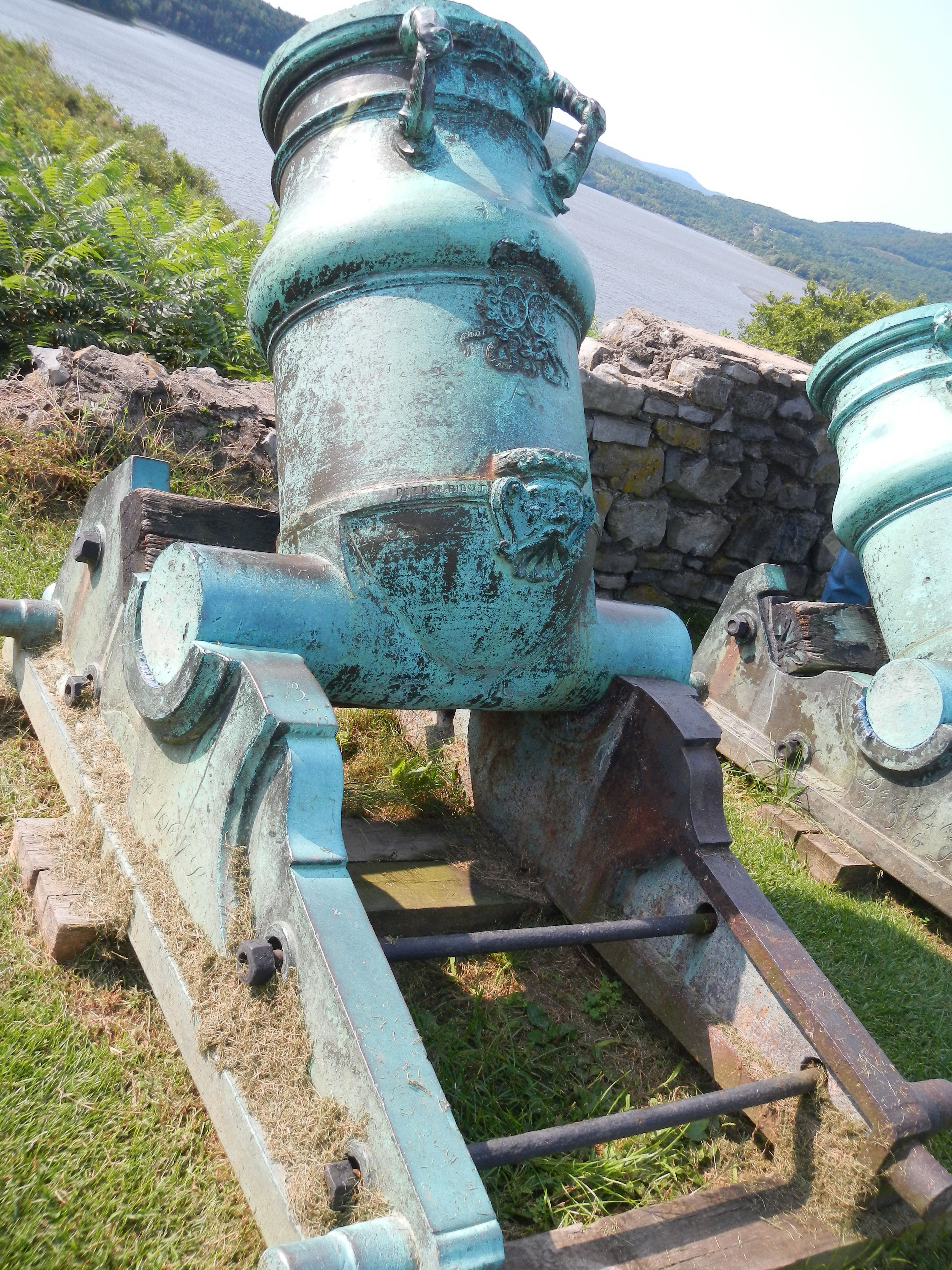
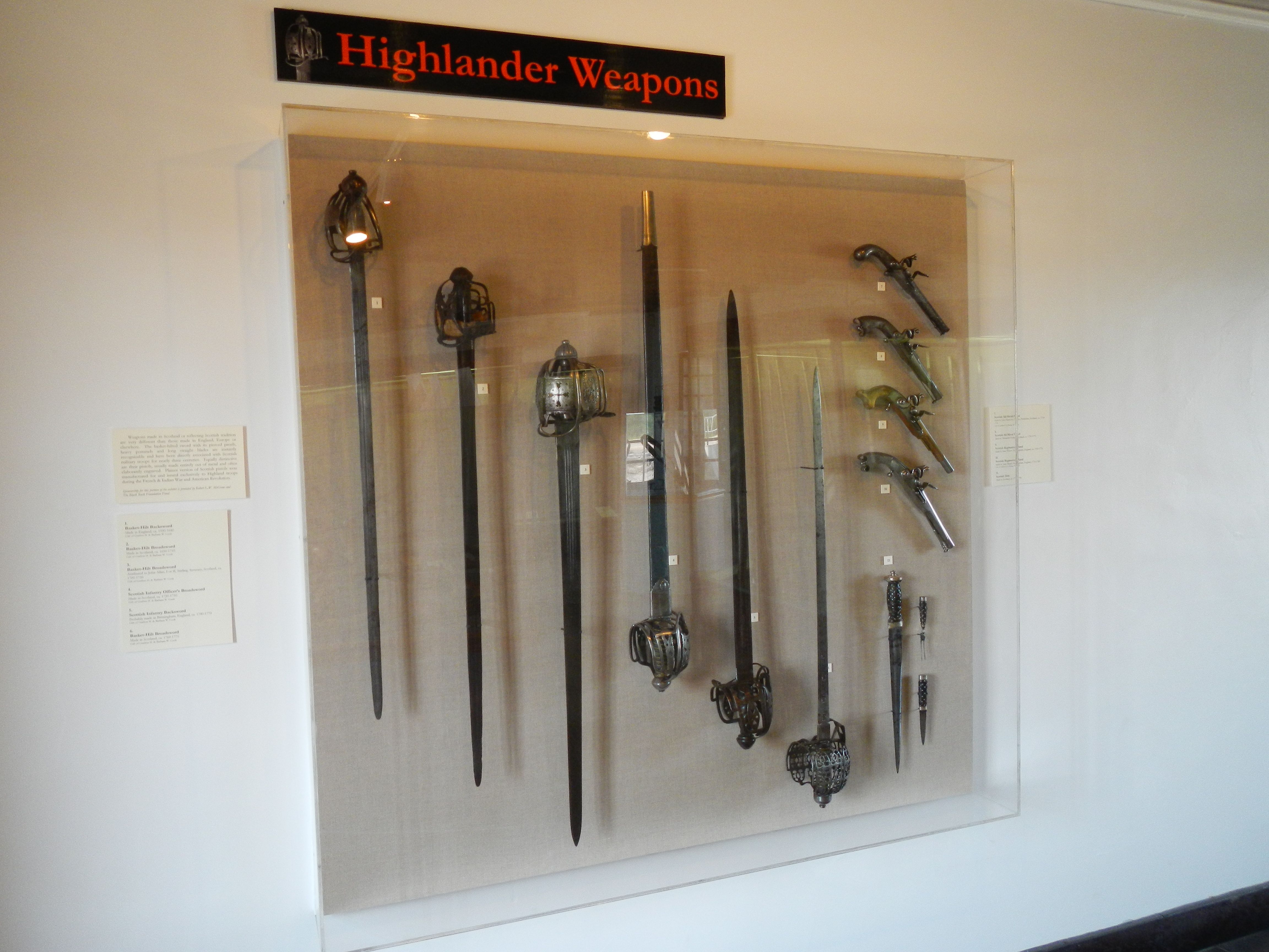
This installation has an early history very similar to Crown Point. The indigenous peoples used this point for centuries. When the Europeans first came to the area it became a trading post and a desirable place to control. The French built a fort here which they destroyed instead of giving it up to the British. The British built a new fort which they failed to destroy when the Colonists captured it because Ethan Allan was able to sneak in in the early hours of morning and take it by surprise. Once the colonists won the Revolution, it fell into disrepair. As the area continued to be an important commercial spot being at the junction of several trade routes, the local population kept growing. Being in need of building material, they used what they could from the fort.

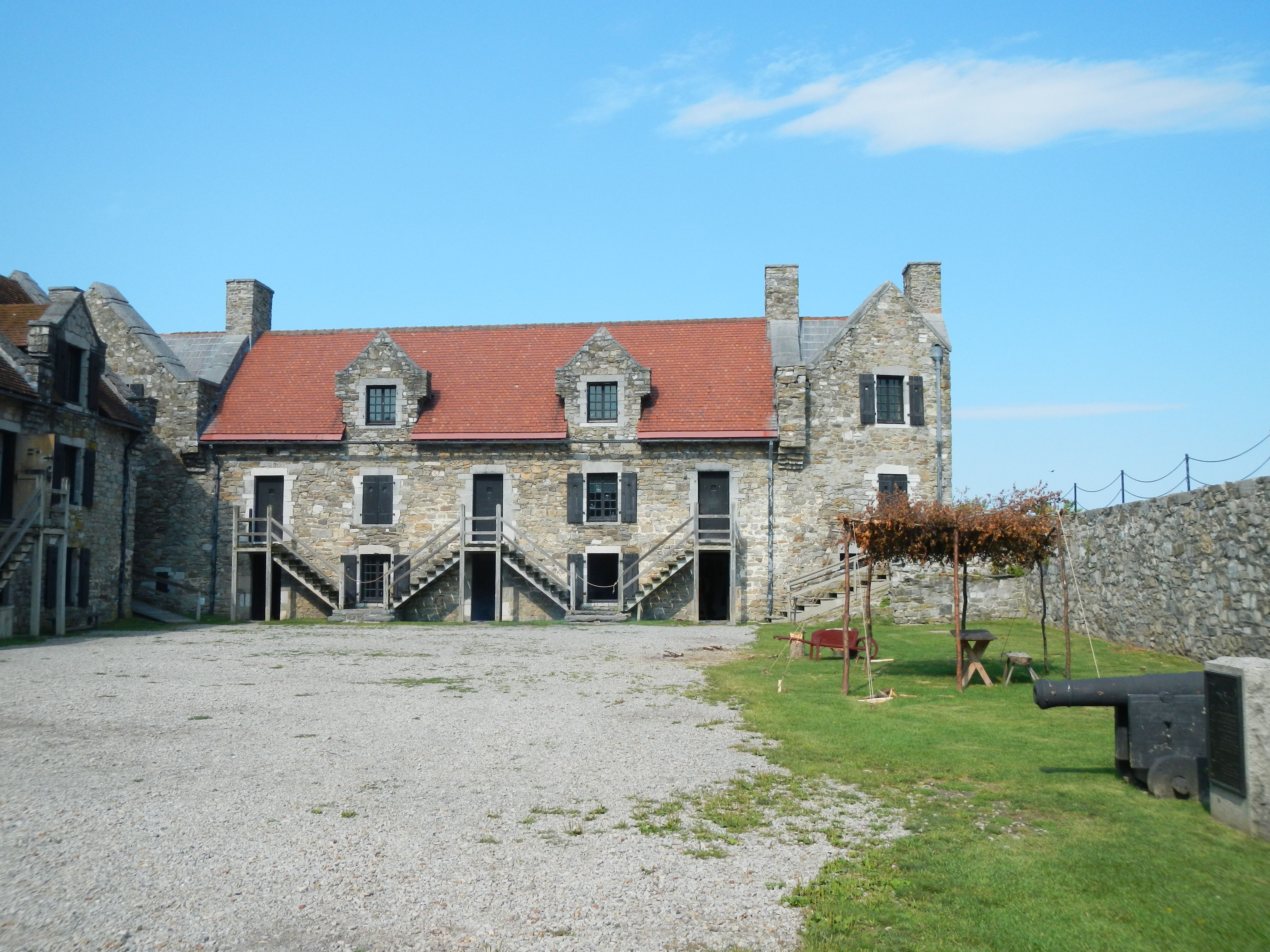
Here the history of the site diverges from all the other ones we have visited. After passing through several owners, it was sold to a NY merchant William Ferris Pell in 1820. He attempted to stop the pilfering and in 1909 the family started restoration efforts. Unlike Crown Point, various builds have been restored based on the ideas of the times so 1 barracks was done with the information and technology of 1909 while the most recently restored building was finished in 2008.

Various members of the Pell family were instrumental in the restoration efforts for over a century. In 1931 they formed the Fort Ticonderoga Association which ensure the preservation of the site into the future. Thus is has been in private hands for more than a century. As the association seems to be doing an excellent job of preserving the various parts of this complex site and making it accessible to the public, we hope this arrangement continues for a long time.

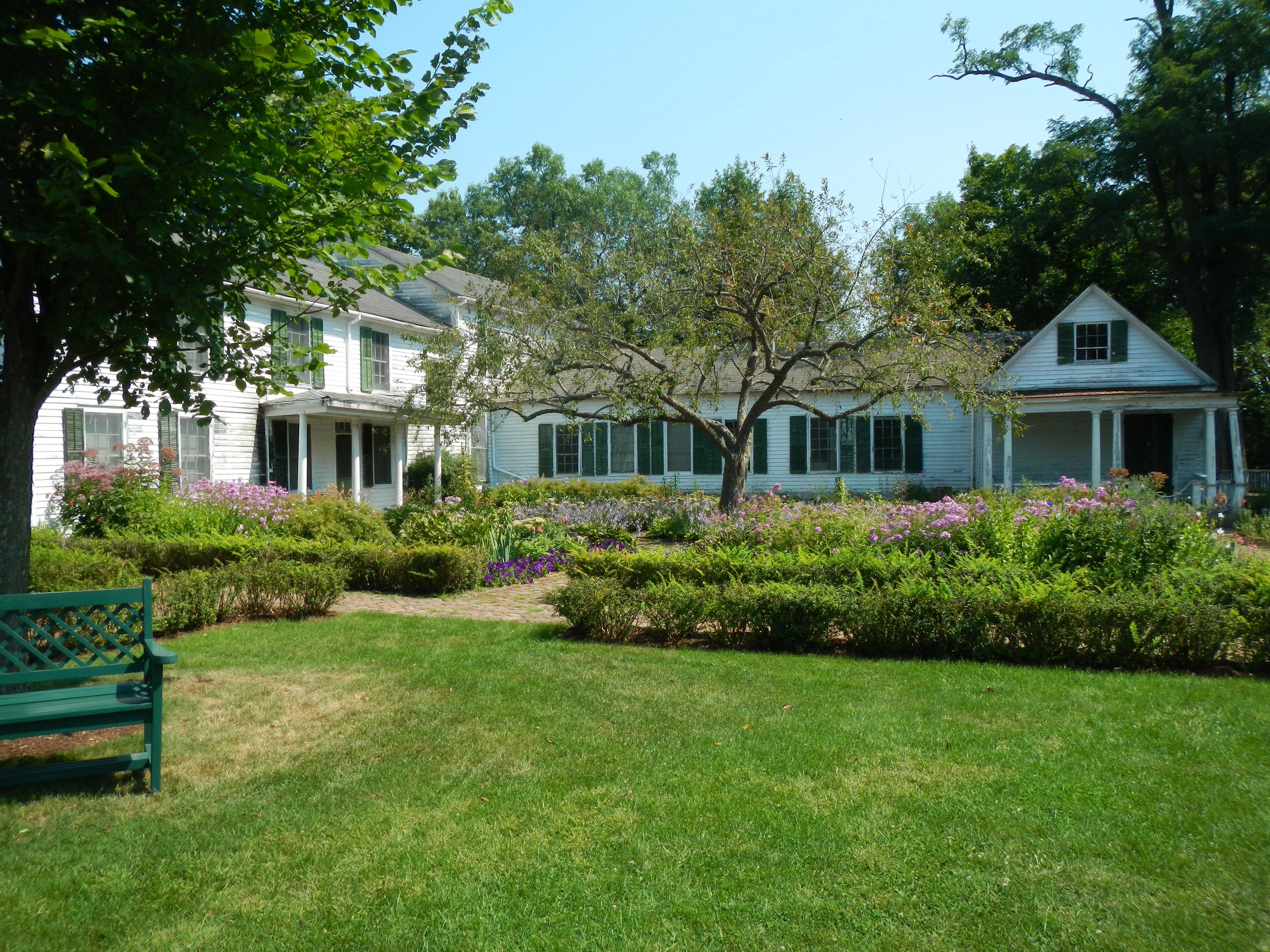
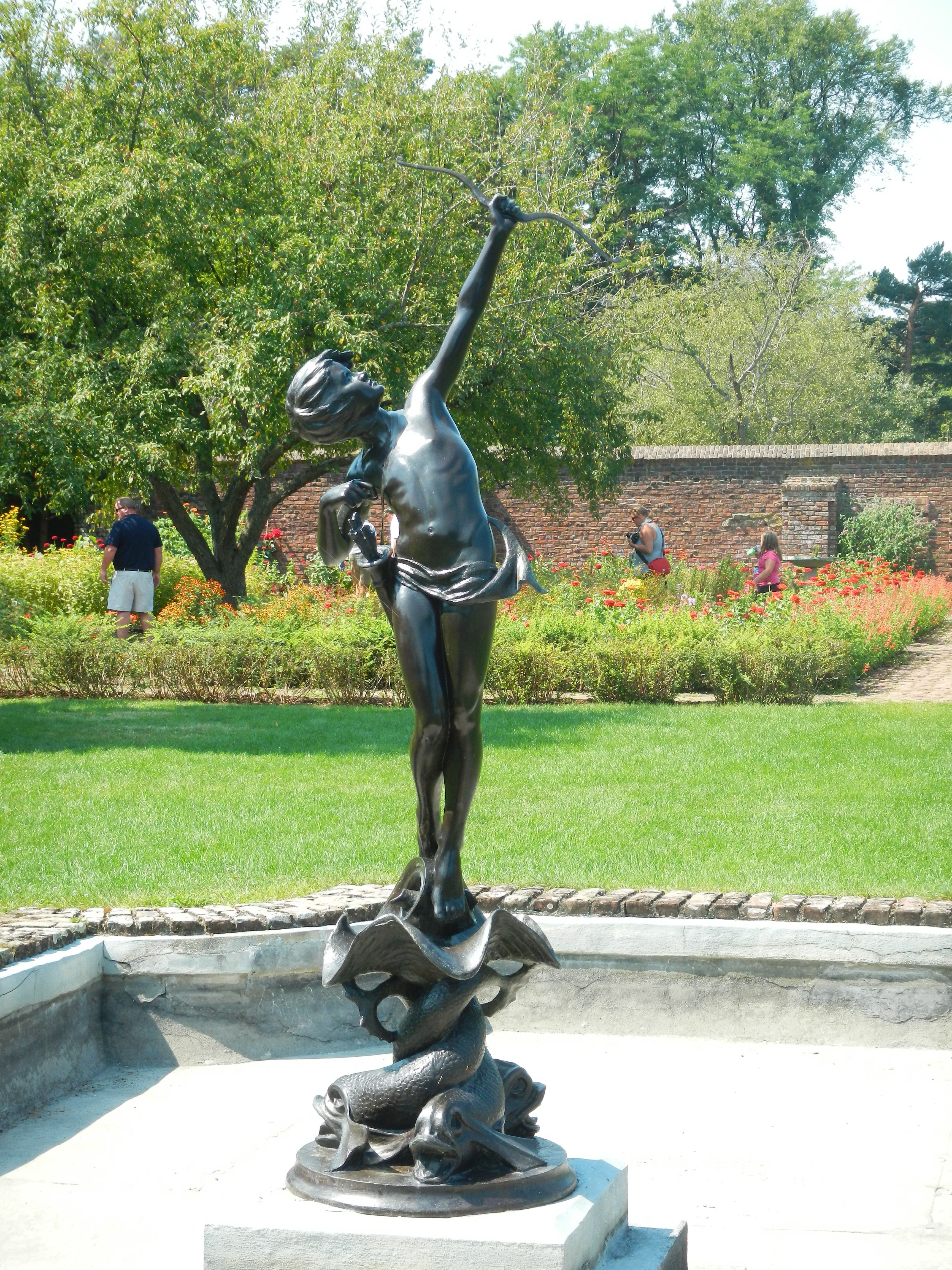
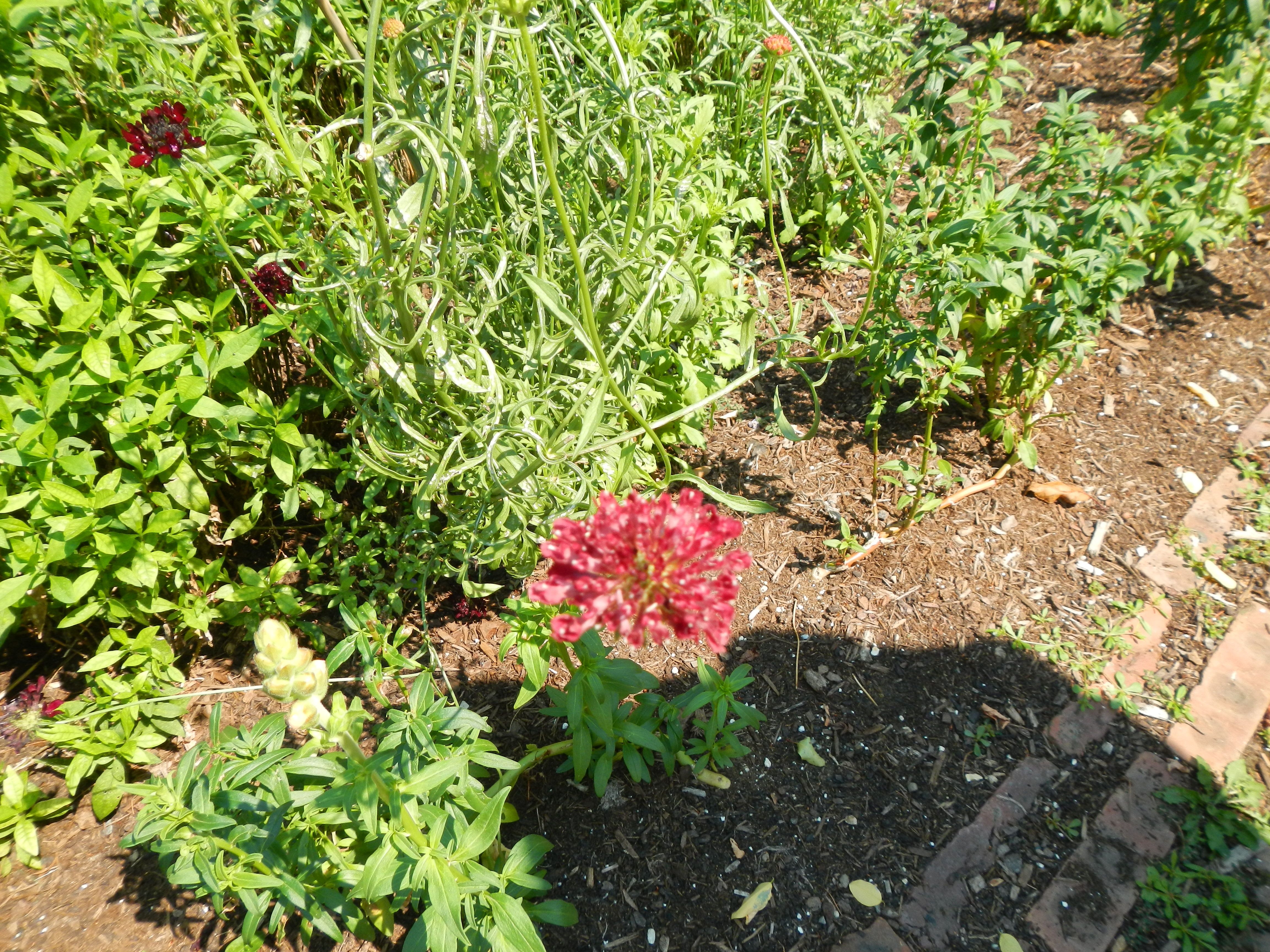
After we visited all the areas of the fort proper, we walked down to the King’s Garden. Here we found the old Pell family summer home in poor repair. Adjacent to it is a formal garden which the association tries to plant as it was in Sarah Pell’s time. The center piece of this garden is a fountain with a statue of “young Diana”. Legend has it that an 18 year old Betty Davis was the model for this. Outside the walls of this formal garden is the garrison garden modeled on what the troops would have grown to agreement their rations. It is said that there was no scurry at this fort because they were able to grow their own vegetables and fruit.

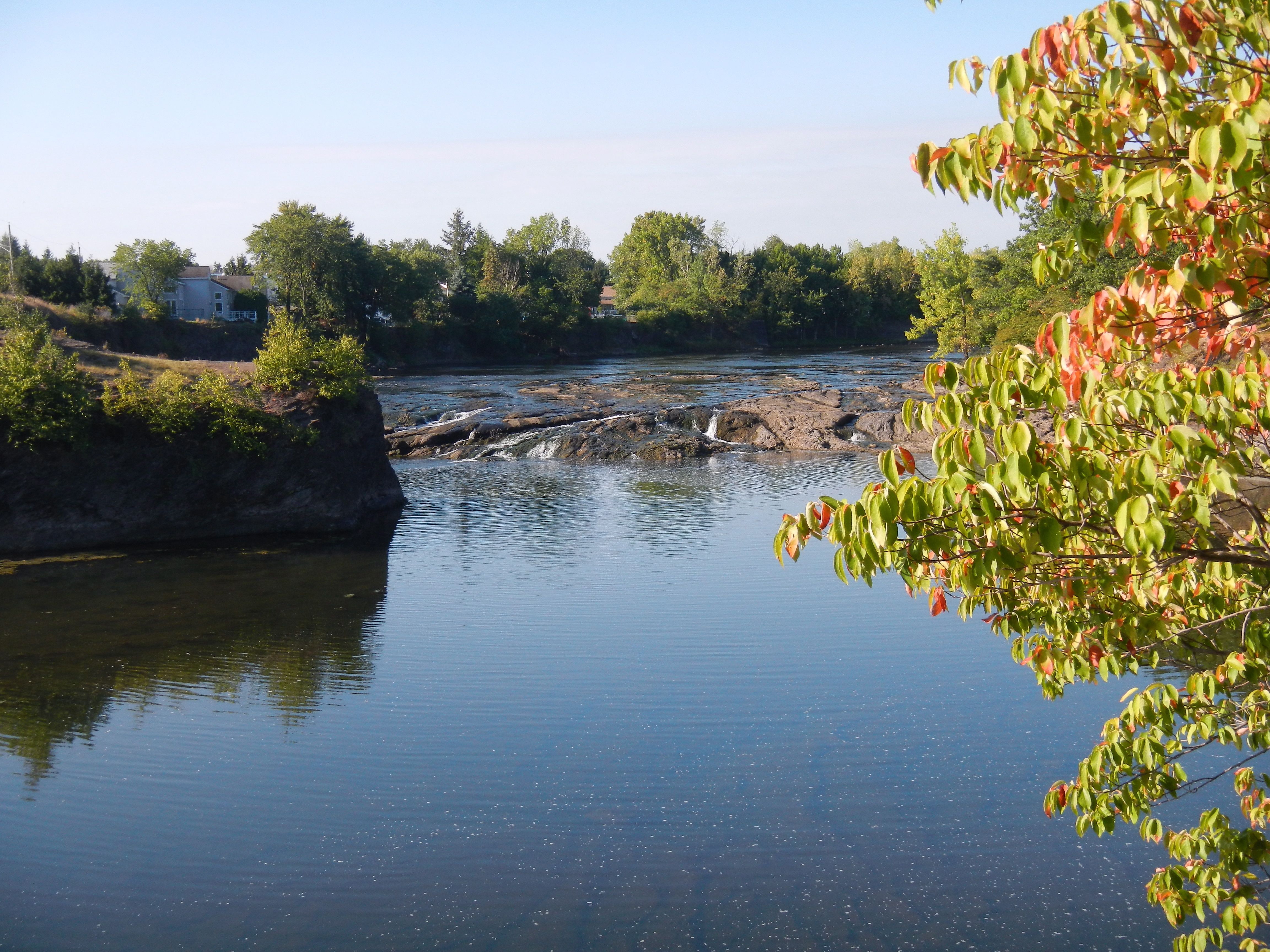
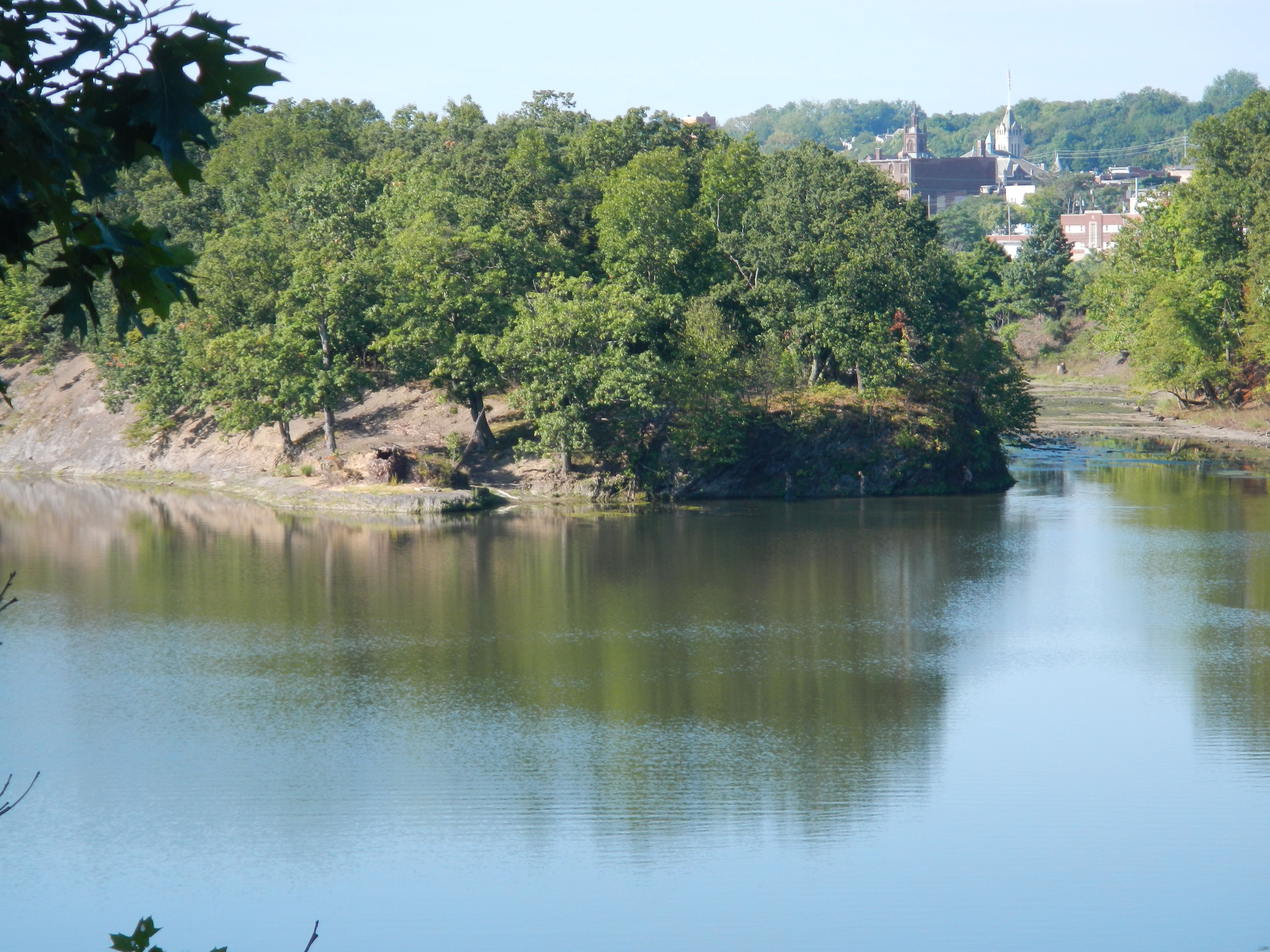
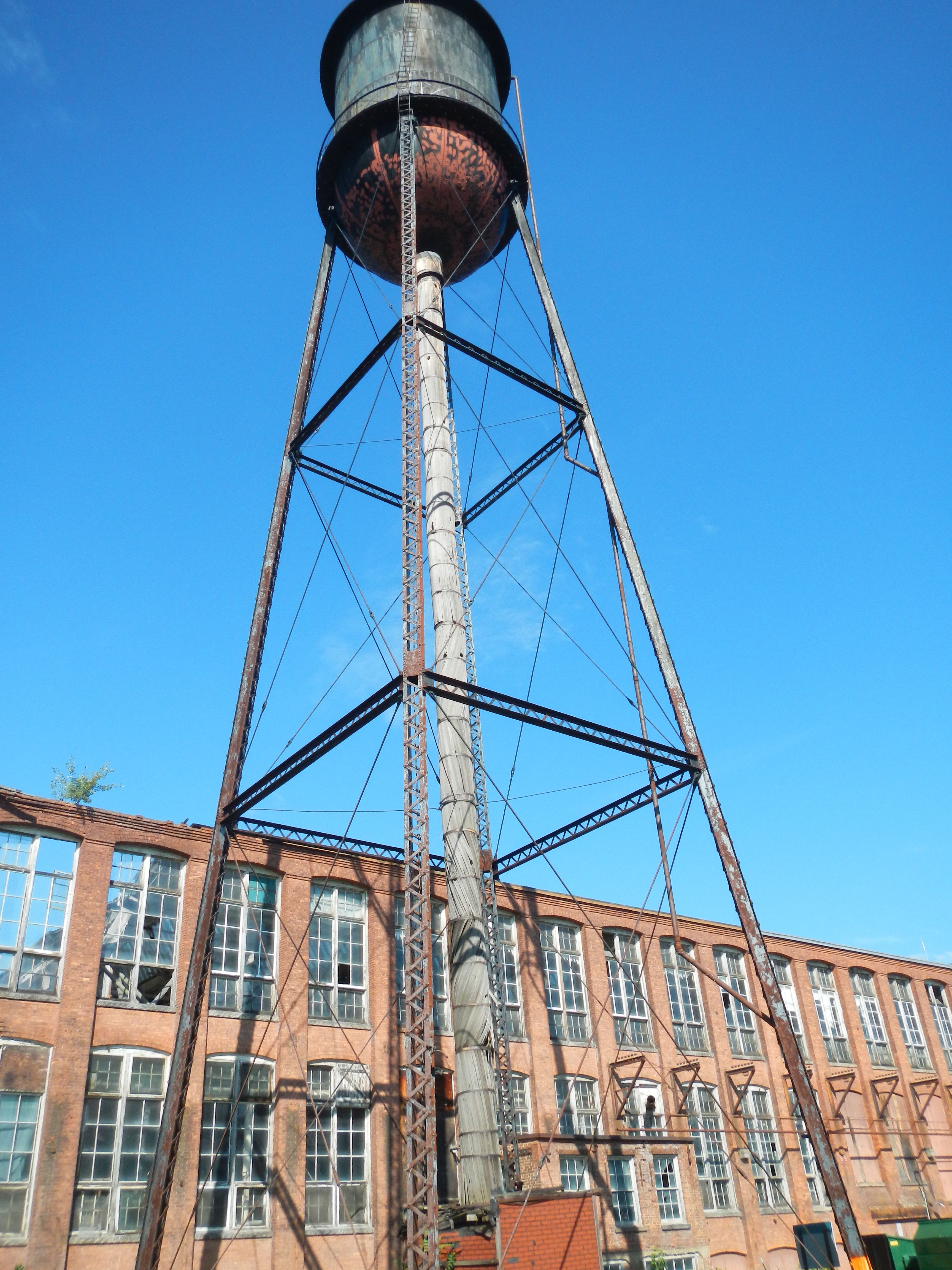
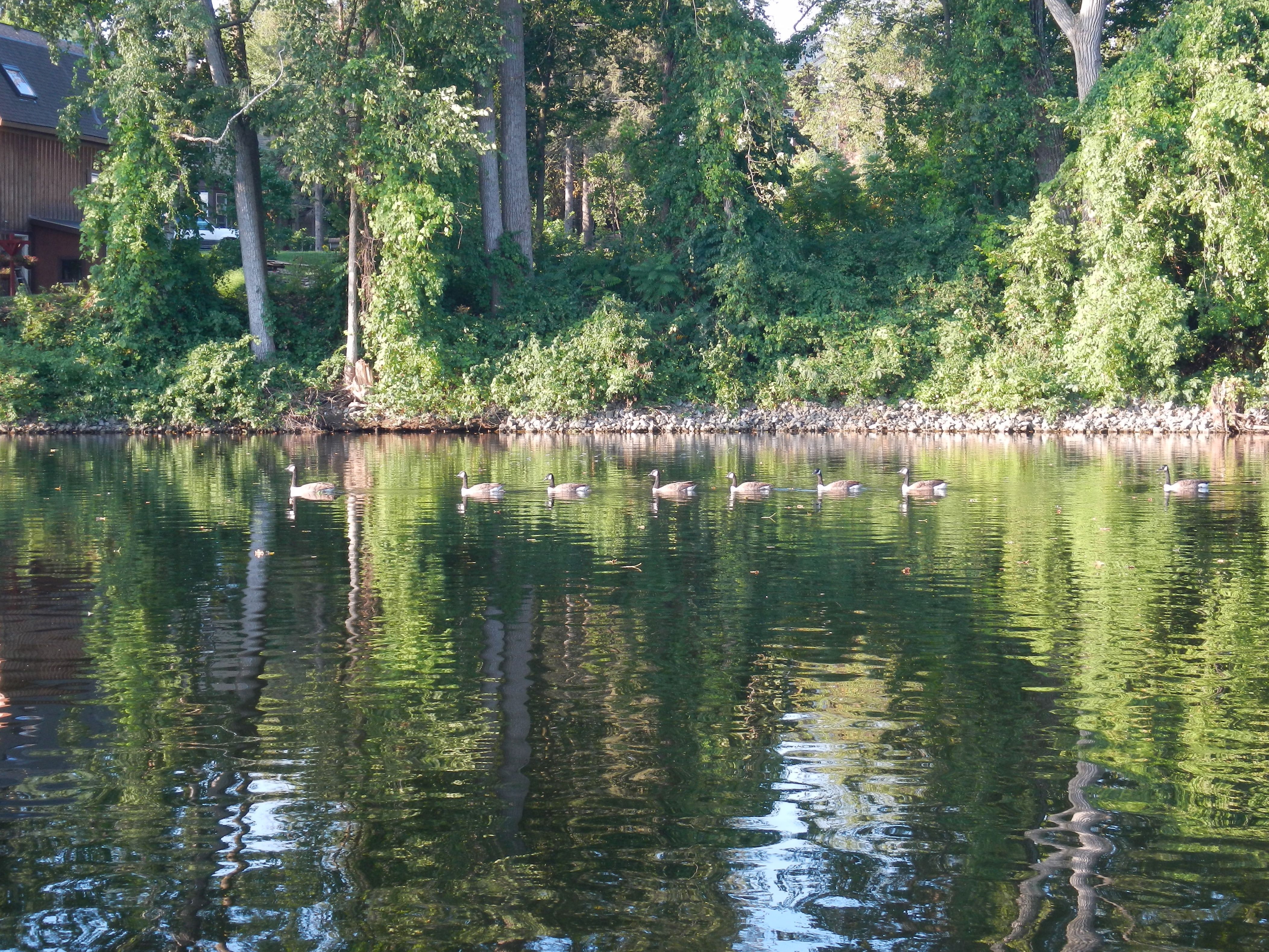
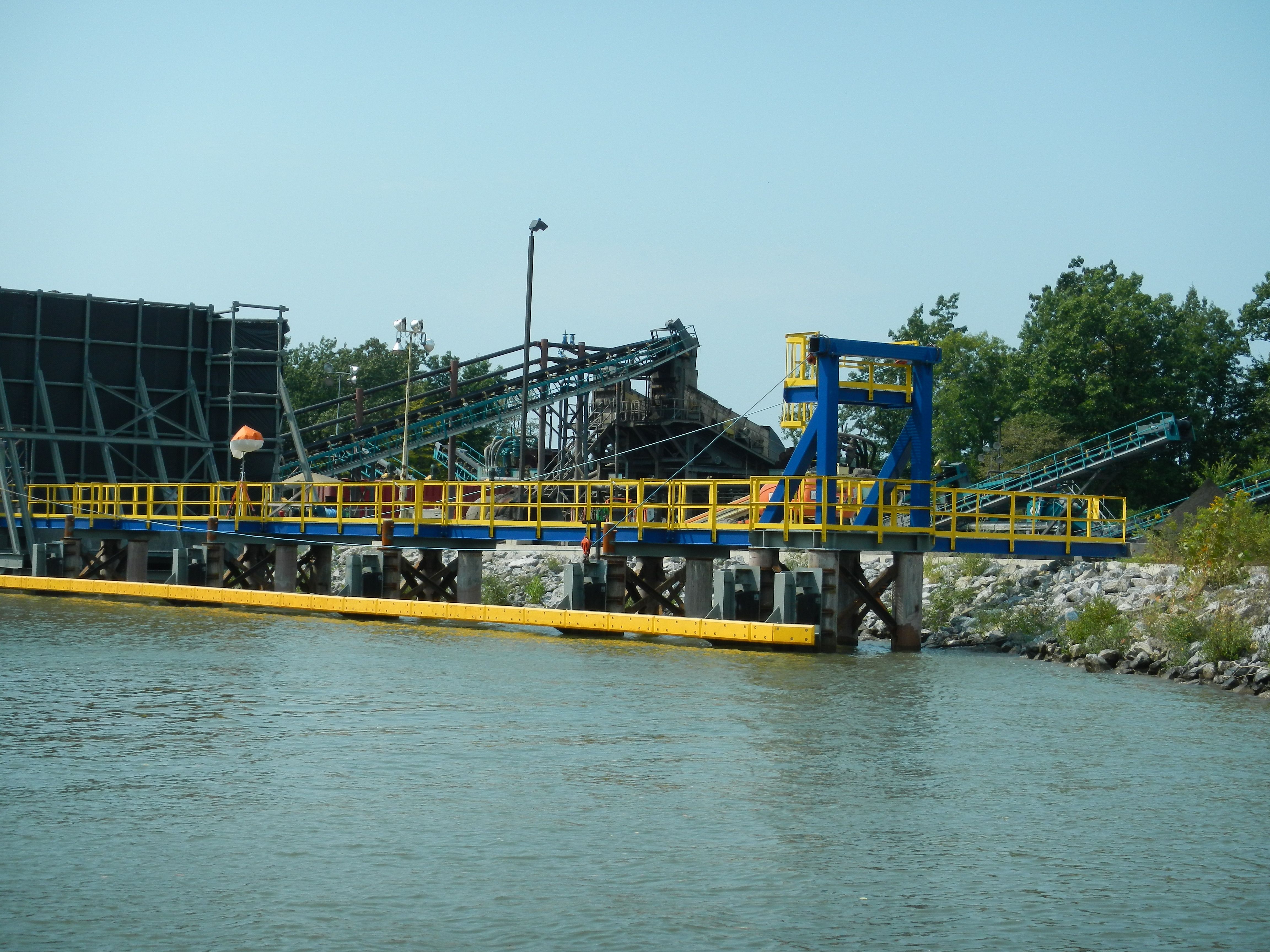
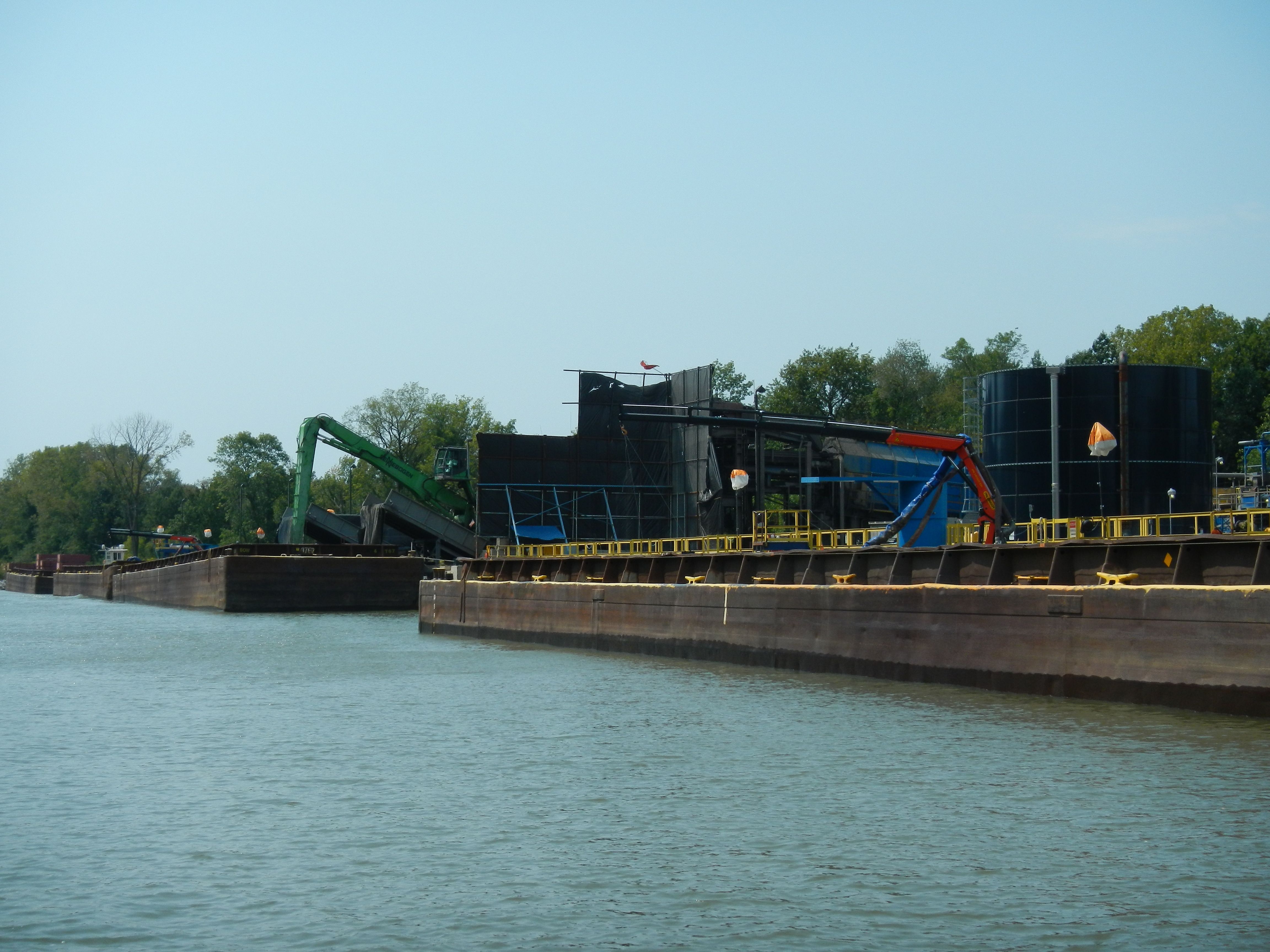
Returning to Conepatus, we stowed the dinghy, prepared cold drinks, and got underway. The south wind was blowing 15 or more and we didn’t want to spent the night here. Less than a mile south we stopped at Buoy 39 Marina which one of the members of the R-246 group had told us about. They are on the Vermont side ad have ethanol-free gas at a good price. After topping off, we continued south. This end of Lake Champlain gets quite narrow and has lots of lovely wetland areas. It was passed 5 PM and the birding was wonderful!! We saw numerous great blue herons, kingfishers, bald eagles, wood ducks, American black ducks, mallards, great white egrets, and more. There was also a muskrat and a grey squirrel swimming across the canal. This panorama continued until we pulled into the vicinity of Whitehall.

Whitehall is the reputed birthplace of the US Navy. A small fleet of ships were built here which were part of Benedict Arnold’s fleet in the Battle of Valcour in October of 1776. Although Arnold lost this battle, it prevented the British from continuing south that year giving the colonists another winter to get organized.

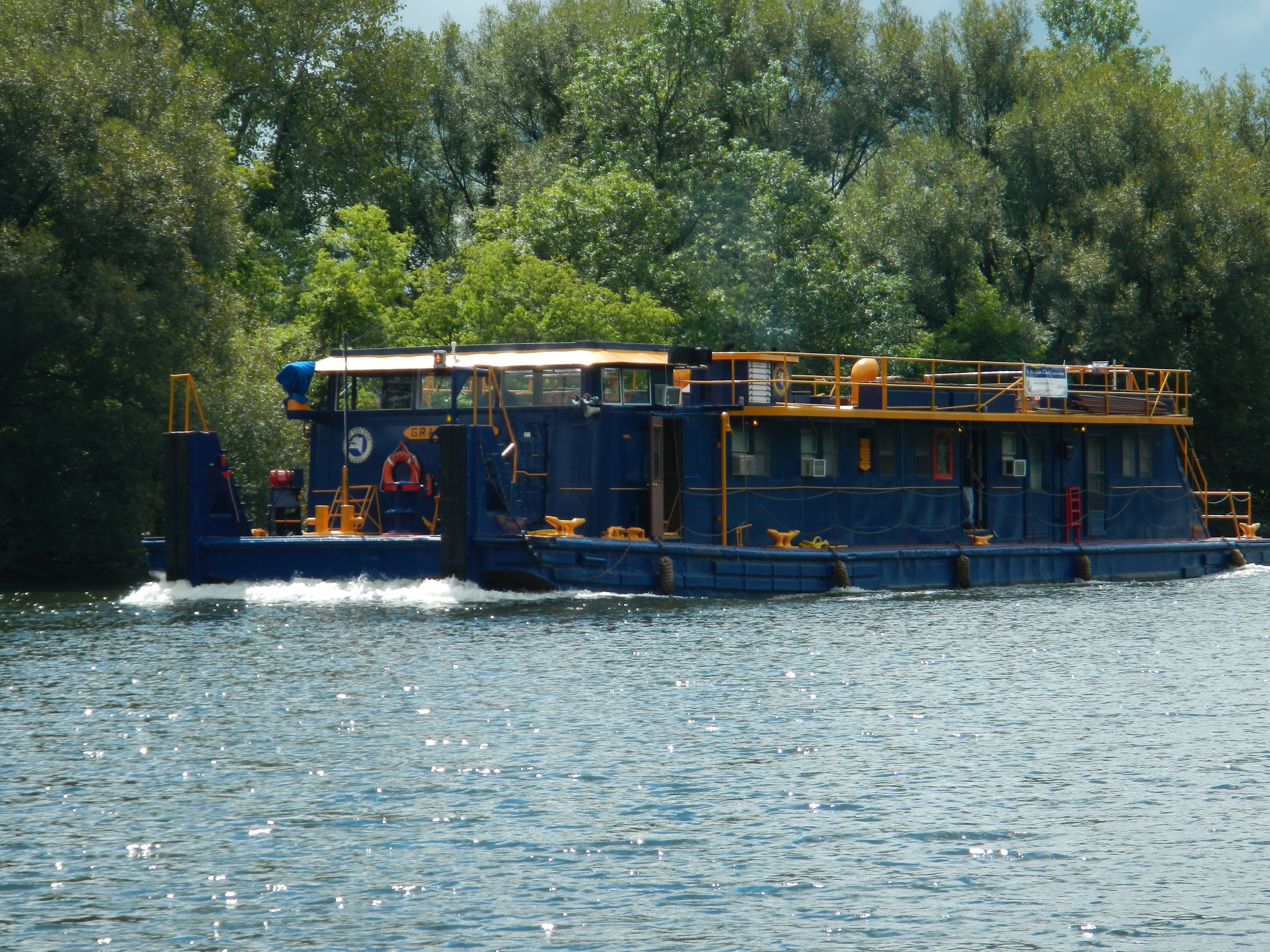
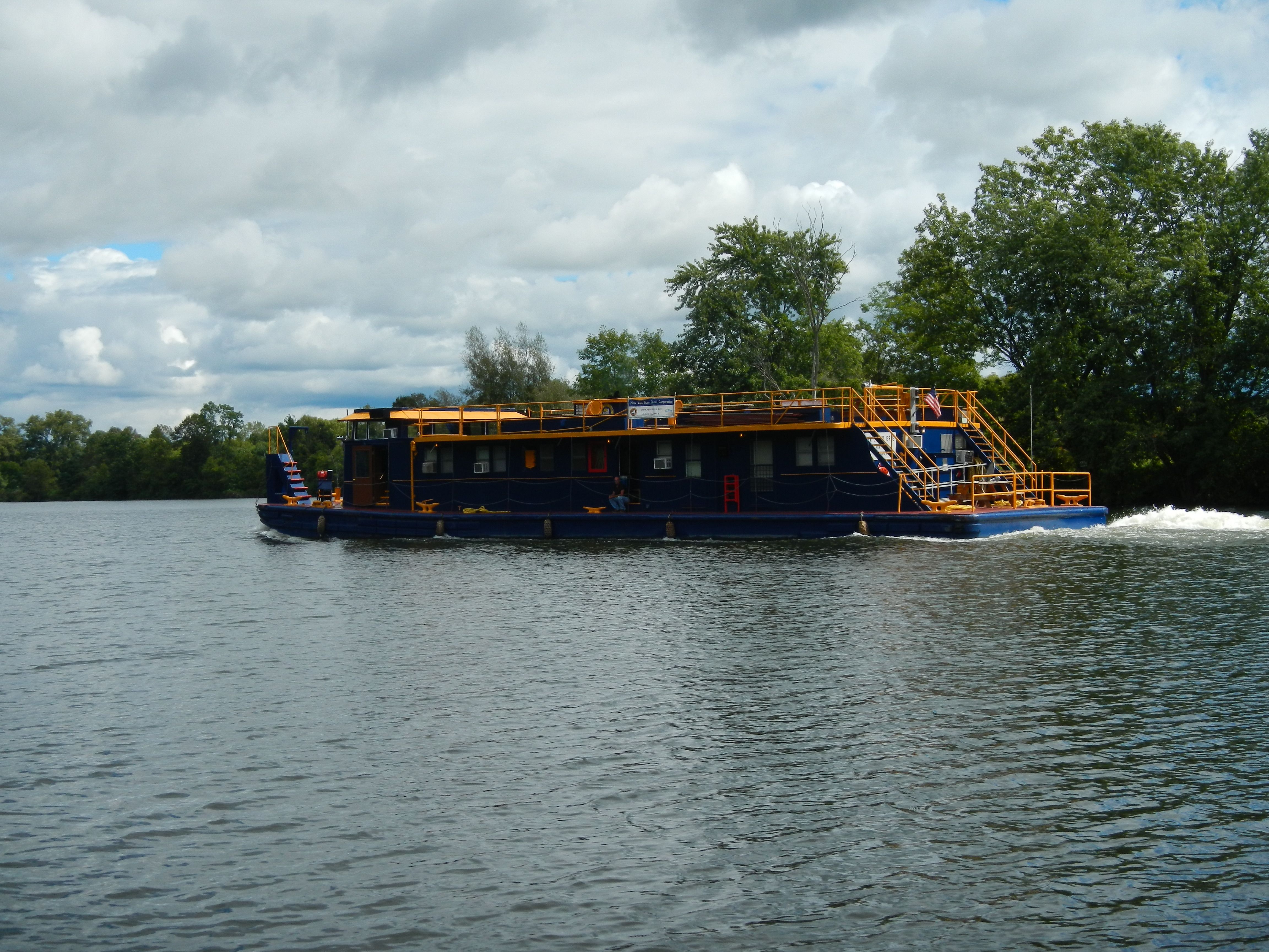
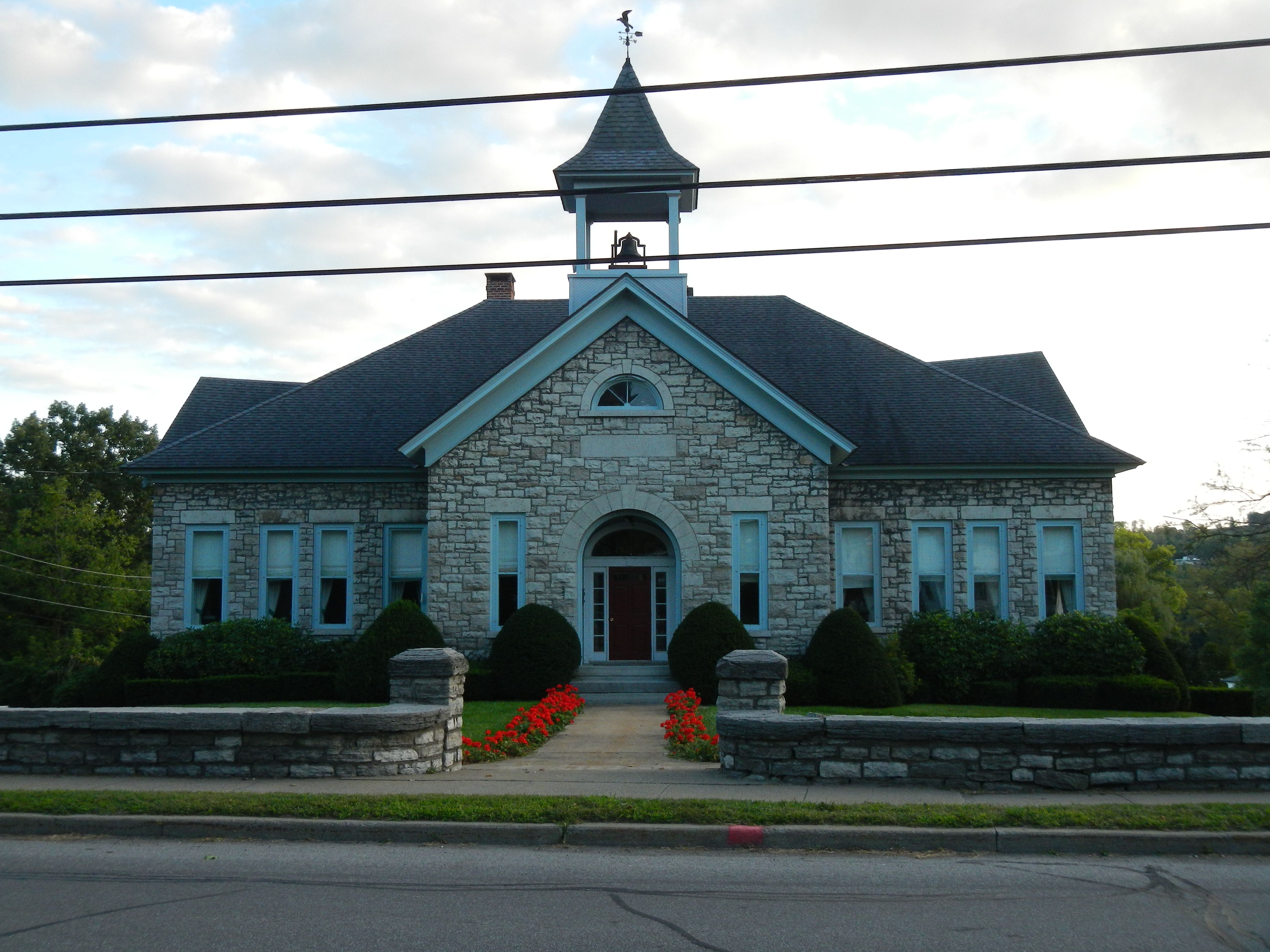
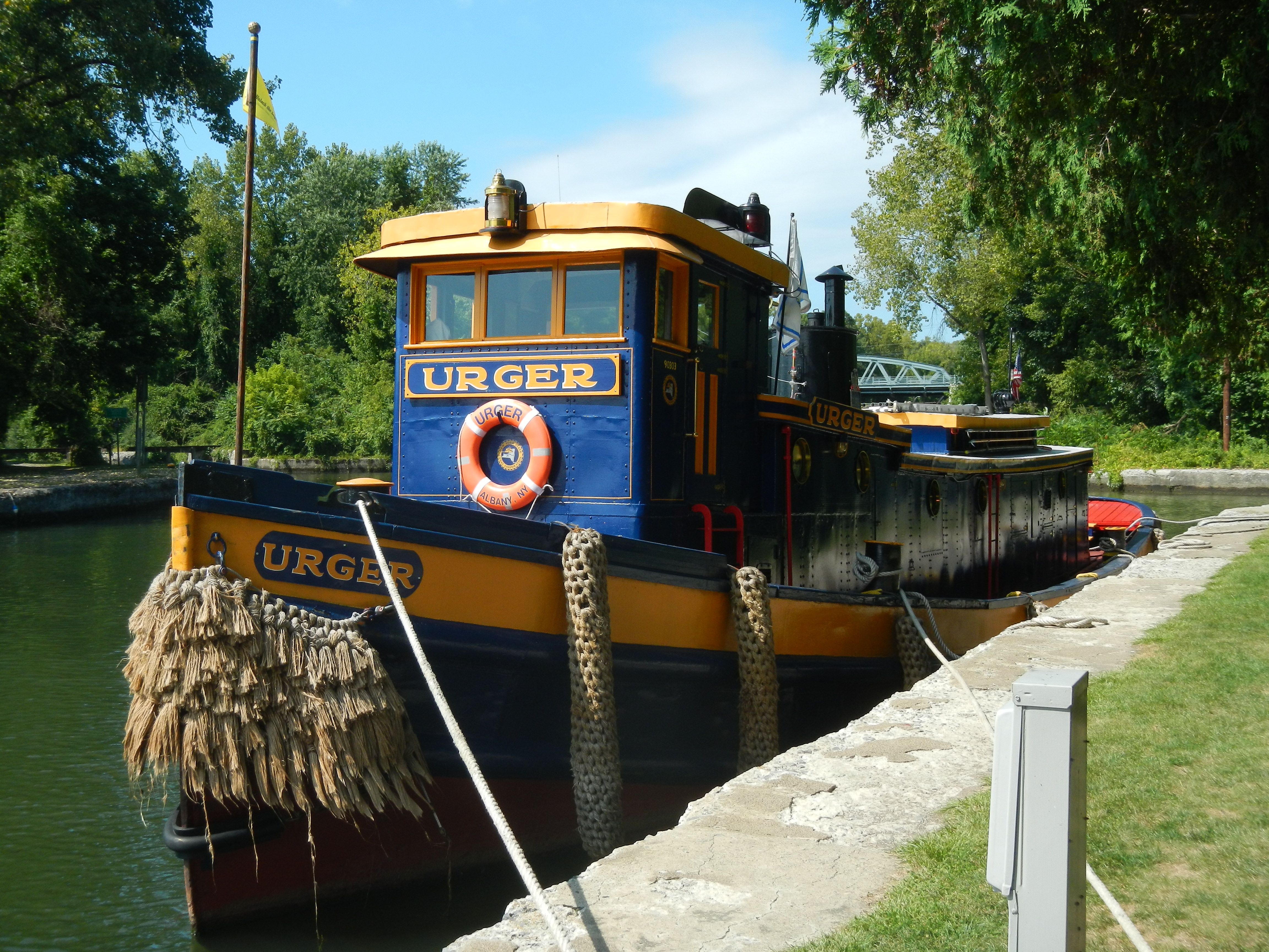
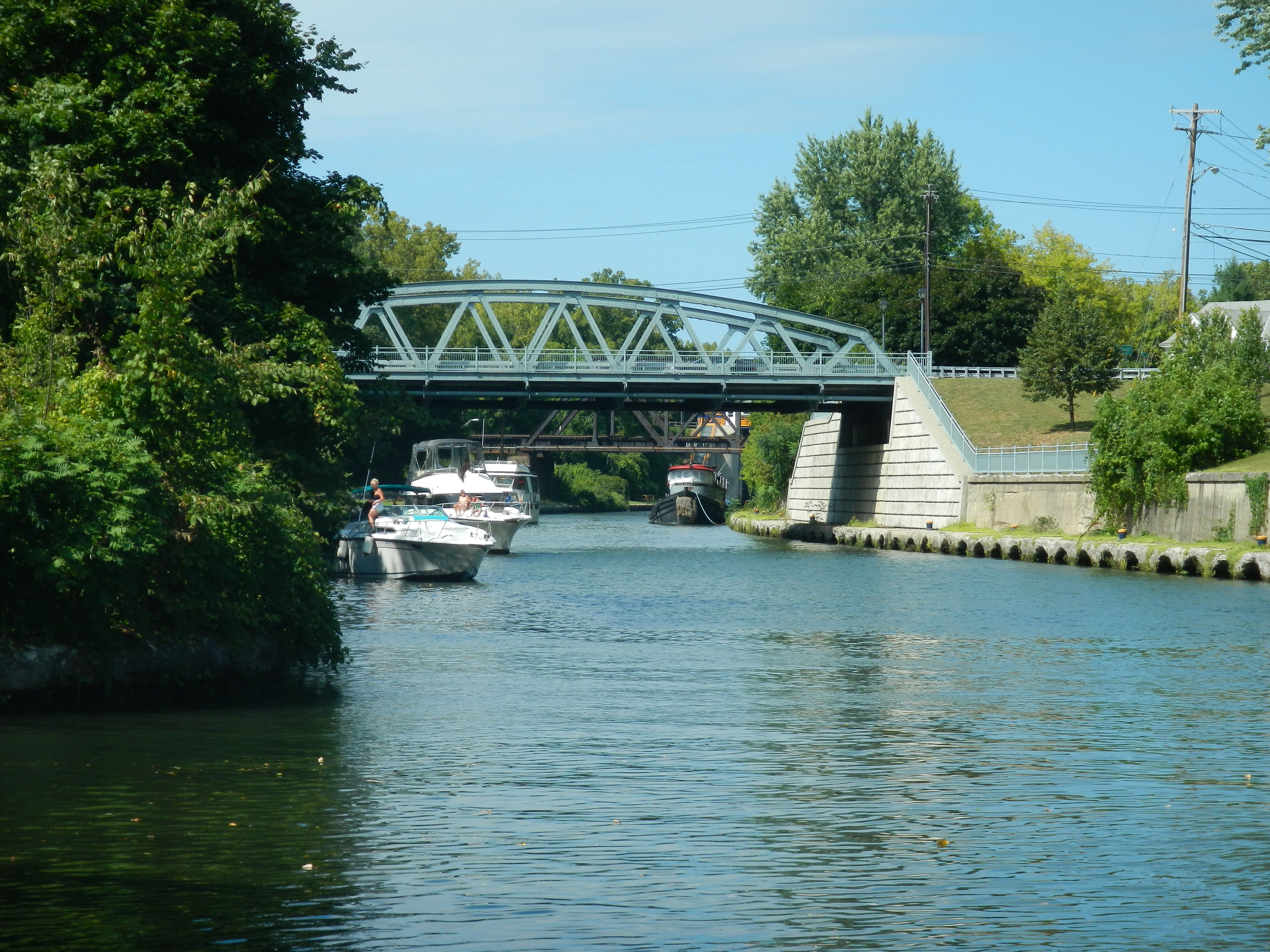
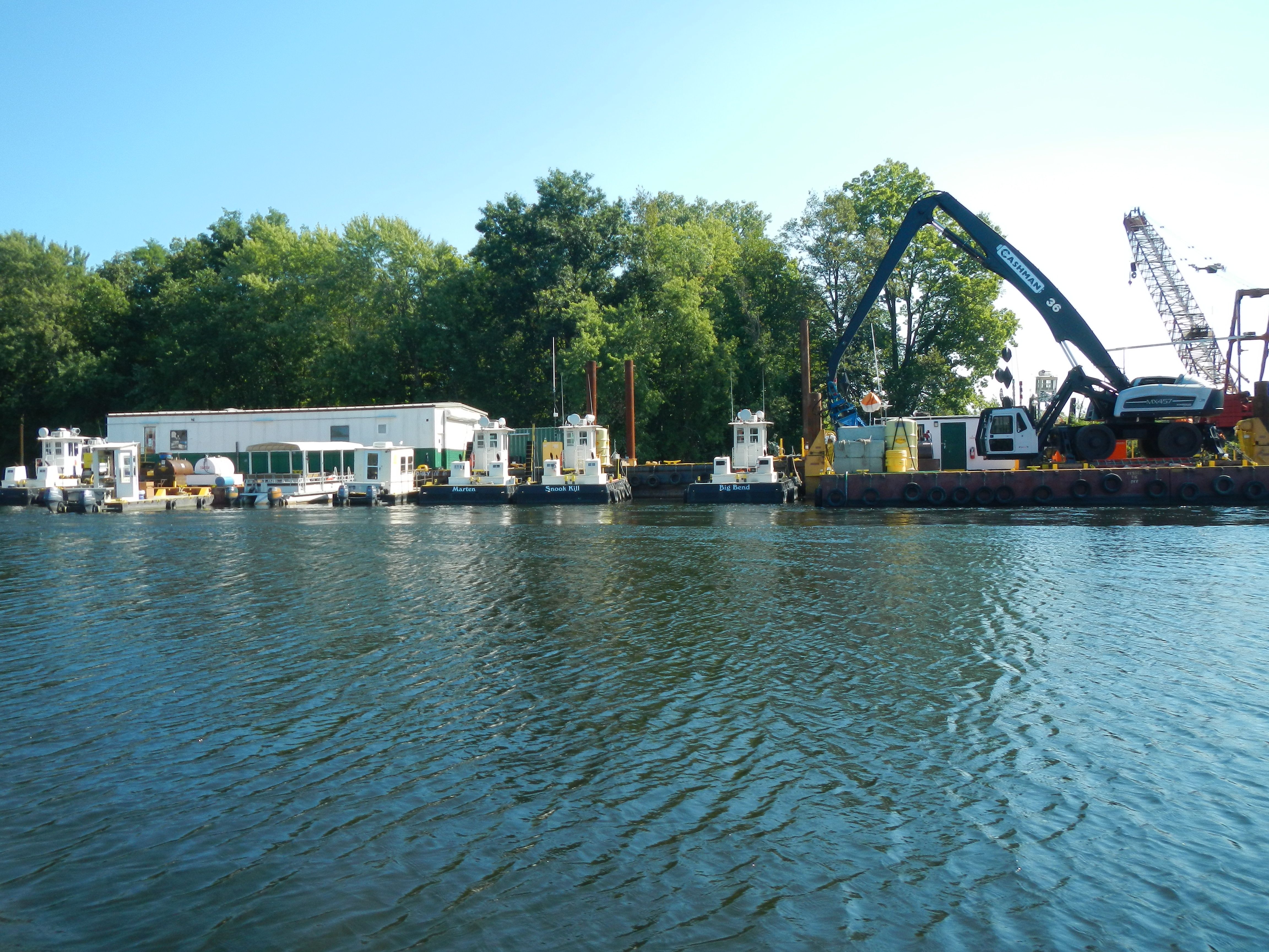
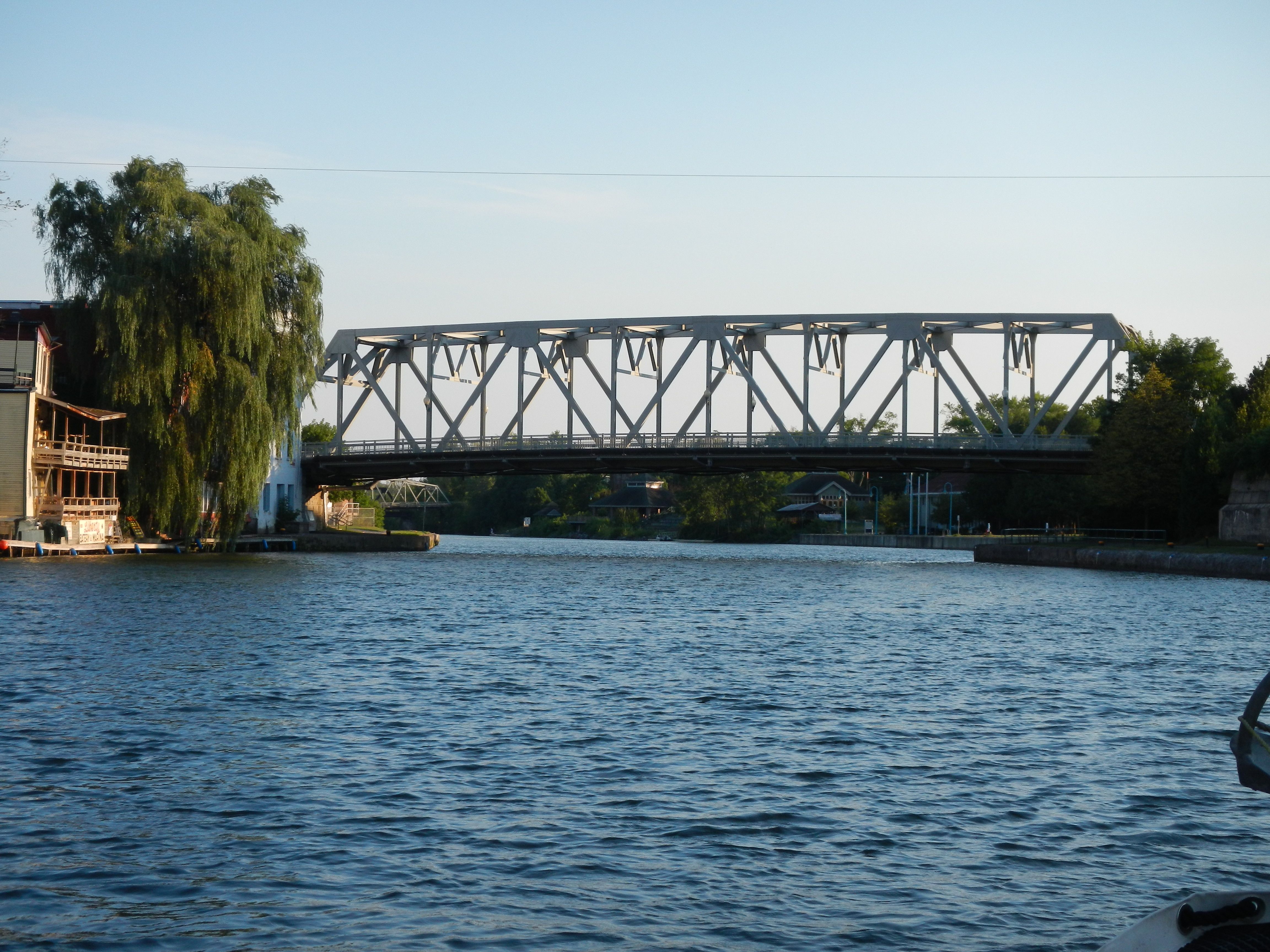
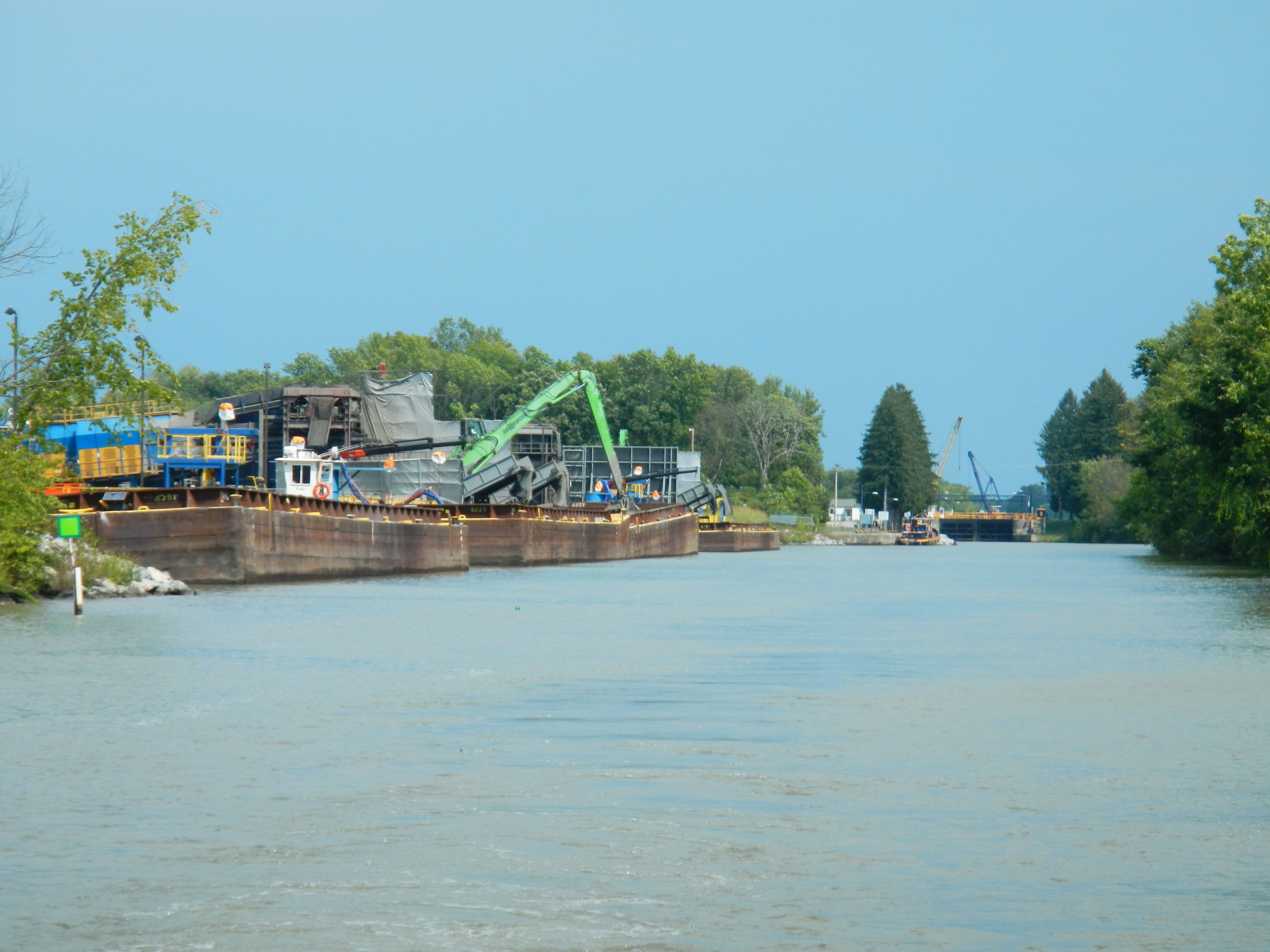
Whitehall is also the northern end of the Champlain Canal. The NY Canal system is run as a commercial barge system. All the locks are on VHF 13 and are still operating 7AM to 11 PM through Labor Day weekend. Also the locks themselves are larger that the Rideau and Trent-Severn. We locked up by ourselves and tied to the Whitehall Terminal Wall where there is water and electric for up to 8 boats with space for more. The town is small, friendly, and pleasant but like several others we’ve visited, it’s hay-day is long gone. It was a jumping place when the hydro power was important for a saw mill and grist mill and it was an important stop on a transportation line.

Wednesday,August 29 Five Mile Point to Fort Ticonderoga South Anchorage

After a breeze, cool night we arose to calming winds and bright sun. After some internet research we decided the launch ramp dock at the Ticonderoga Ferry was the place to try. We head south passed the large International Paper plant and turn toward the dock. We managed to get there through very shallow water with the motors tipped up as high as we could and still have water cooling them. Craig called a taxi  and a gas filling place he had found on the web. As soon as we docked, he grabbed the tanks and headed up to the parking area. Within an hour he was back with 2 full tanks! We then moved over to the pump out station on the dock. This is a free do-it-yourself system so we emptied our tank. We decided to hang out for a while. The cable ferry is busy almost continuously. A few interesting folks stop by to check out Conepatus and our air card was working well here.

Mid-afternoon we check the weather forecast and decide to position ourselves for a trip to the fort. We pass around the point and anchor on the south side right under Fort Ticonderoga. In the evening we can hear the weapons demonstration as they fire muskets, mortars and cannon.

After we anchored we needed to roast some coffee and top up the batteries. While Craig ran the generator, Sarah “escaped” in the dinghy. The landing under the fort is a bit tricky. There are thick weeds all along the inner part of the bay. These are actually a mat this time of year. I managed to find an open lead by going to the east end of the rocky point. Here there is a break in the weeds close to shore. With some effort you can get along the shore far enough to land on a firm gravel surface under the fort. From there I went to check out the mouth of the La Chute River. This is the river which flows out of Lake George. It has numerous rapids. They never build a canal system between these 2 lake but it was a major portage location. The fort was built to protect this transportation route as well as the route visa Lake Champlain. Before the canals were built, the Hudson River – Lake George – Lake Champlain route was preferred over the Hudson River – Lake Champlain route.